We left Tule on Wednesday under clear, blue skies, and perfect winter morning temperatures - about 68 degrees, for San Cristobal de Las Casas, a colonial city perched at 1,900 meters in the mountains of Chiapas state. Our guidebook estimated a ten hour drive, but we knew better. We planned for 20 hours over four days.

We knew the first part of the road we would be traveling was flat and straight since we had traveled it a number of times on our visits to the market at Tlacolula, the ruins at Yagul, the frozen waterfall at Hierve de Agua, and the zip line at Caujimoloyas - it’s the only direction we ever went out of Oaxaca - but we didn’t know what to expect from the next 500 kilometers. It was no surprise, however, when the road started winding up and up because it seems like someone has grown a mountain between us and wherever we want to go in Mexico.
This is the worst type of driving to me - it’s tedious, upshifting and downshifting, keeping eyes peeled for oncoming traffic around steep curves, and we only average about 20 miles an hour, so it takes all day to go anywhere. We pledged at the outset of this trip that we would not drive more than four hours a day and would not drive consecutive days if we drove four hours the previous day, but we had to blow that philosophy up long ago or we would still be in Texas. When the road finally does reach the top of something on our mountain climbs, the views are spectacular, but then we start winding down again, and I only get glimpses of the mirador because I hesitate to take my eyes off the road for too long.
We planned to spend the first night at Ojo de Agua, a natural spring/swimming hole, near Magdalena Tlacotepec (which is near Ixtepec, in case you want to look it up.) The campground was essentially a dirt spot under a tree, surrounded by other dirt spots, next to a large parking area strewn with litter and burned out spots where litter is burned, and infested by flies and stray dogs. In other words, it’s a dump, and in the middle of the dump is this really pleasant, clean water swimming pool made by damming a natural spring - it reminded us of Barton Springs in Austin, TX, but not nearly as cold. We got out our goggles to watch the little fish in the spring nibble at our toes and other exposed areas of skin for what amounted to a free fish spa - which tickled - until a bigger fish would take a nab at a toe with intentions of making it breakfast.
And we all finally got to use our Turbo Toilet because the public restrooms closed at 6 p.m.
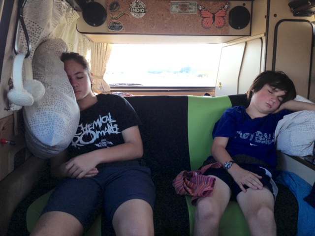
We finally reached Chiapas state on our second day of driving after spending more than six weeks in Oaxaca. After we passed through the wind tunnel of La Ventosa, the narrowest point of the Mexican isthmus where winds can reach speeds strong enough to rip your teeth out, the drive was a pleasant stroll through rolling mango groves and wavy grass fields, more reminiscent of the winding mountain roads I’ve driven in the States, and lacking the steep grades so common to Mexican road-building; most of the time it’s as if the engineers were late for siesta and said, “Fuck going around the mountain. Let’s just go over it.” Coconut and J spent the day in the back seat doing math homework, playing video games together, and taking a nap - just the kind of bonding experience we hoped they would have.
We planned to camp at Aguacero, a waterfall described in our guidebook as a gorgeous series of frothy stairs that tumble and spray, but when we pulled up at 5:05, the gate was locked. We later found out that Carlos, the guy from town who has the keys, calls it a day at 5 p.m., not at 6 p.m. like the guidebook suggested. I did hike down the couple of hundred meters to the campground, which was abandoned except for two stray dogs, one of which growled but turned tail after I stooped to pick up a rock (I didn’t bring my stick.) The waterfall is about 700 stairs and a 20-minute jungle hike from the campground, so all I could see when I peered over the wall was the river far below in the canyon - it was pretty, but I forgot my camera so no photo.
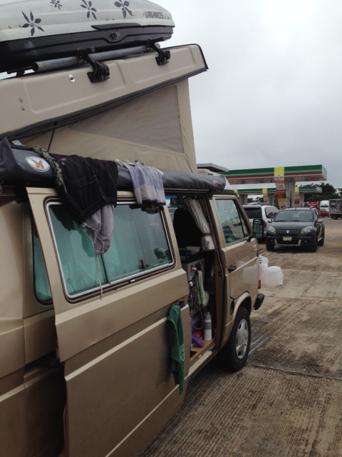
After some debate, R and I decided not to camp at the entrance to Aguacero, which would have meant that we basically set up shop right on the dirt road in front of the gate, so we turned Wesley around to bump the 8 kilometers back to the main road and head in the direction of Ocozocoatla. By this time, though, it was after six, dark, and had started to rain. I couldn’t see where in carnation anything was, including the road, so when we made a wrong turn for the other campground we could have stayed, we decided to head to the nearest Pemex gas station to stay for the night. As our friend Andre said over coffee and cake in our San Felipe house, you haven’t overlanded unless you’ve slept at a Pemex. So, finally, check! And it actually turned out to be one of the quieter nights that we’ve spent in Mexico - no stupid, barking dogs - though Coconut did say that I snore.
After a leisurely morning spent doing this and that in the Pemex parking lot, we drove through the modern city of Tuxtla Gutierrez, which proudly boasts a traffic light for each of its 540,000 residents, to get to the Canon del Sumidero so we could take a boat ride up the canyon. This pre-historic fissure in the earth has a variety of birds that may get eaten by the 240 or so crocodiles that live in the river, some towering rock formations rising out of the mist that reminded us alternatively of the cliffs of insanity or something from the Lord of the Rings, and, unfortunately, lots of floating plastic bottles. At one point, the canyon wall was 300 meters high, the water 100 meters deep, the boat was traveling at 60 kilometers an hour, and the temperature was 15 degrees Celsius. That’s a lot of numbers to add together, but it can be summed up like this - it was really cool.


